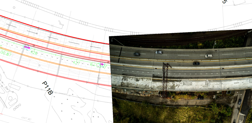
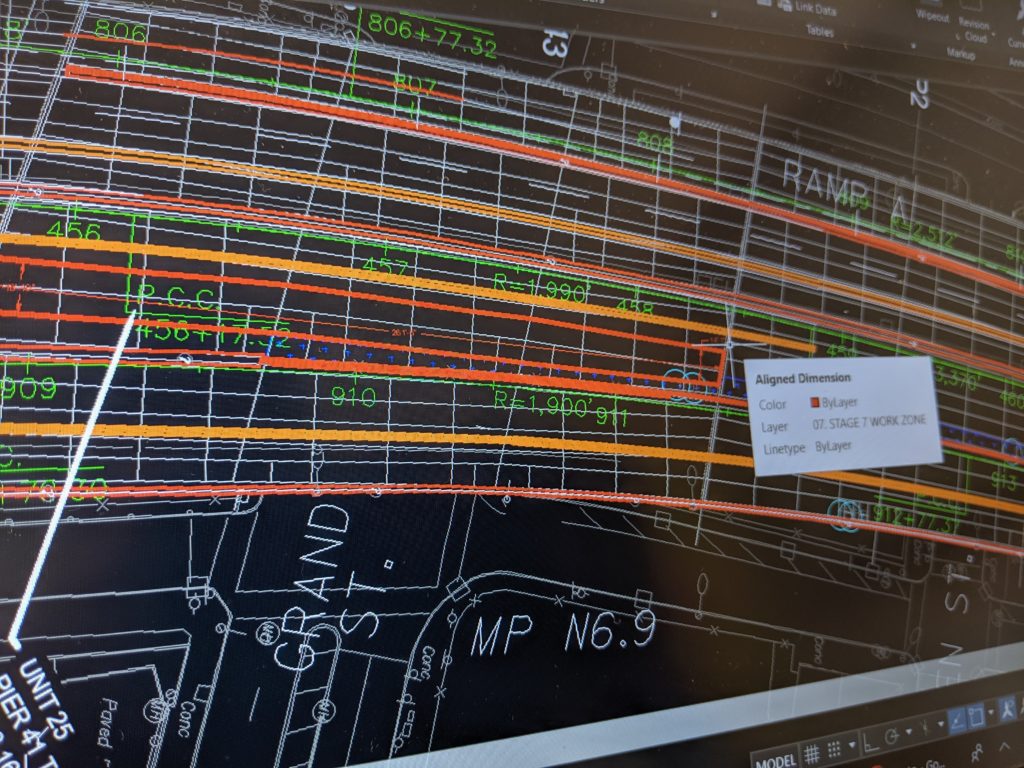
Using technology built into our drones and the latest in CAD software, we’re able to stitch, map, and scale design drawings to real-time aerial imagery to get you the most precise and updated plan for your project. We can also use photogrammetry to generate GeoTIFF files for any project, big or small.
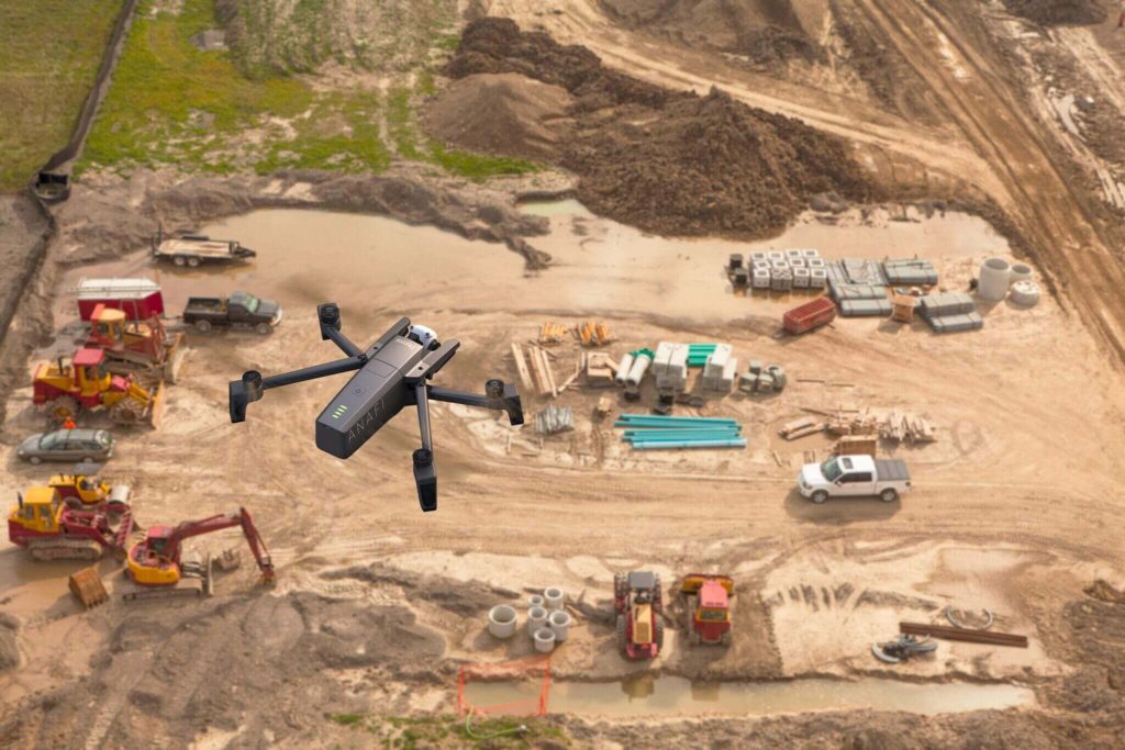
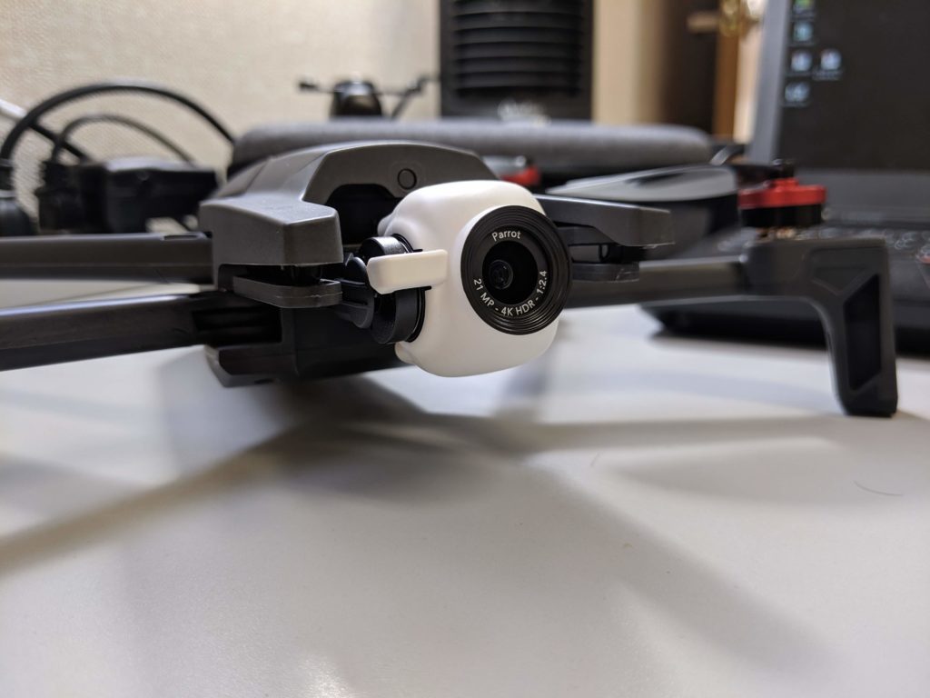
You can survey with a six man crew on the ground – or just one pilot from the sky. Our drones are outfitted with minimum 20MP cameras to get the sharpest and largest images for your job.
With almost a decade of experience in construction and engineering, we can help with progress photos, aerial surveys, and CAD drafting.
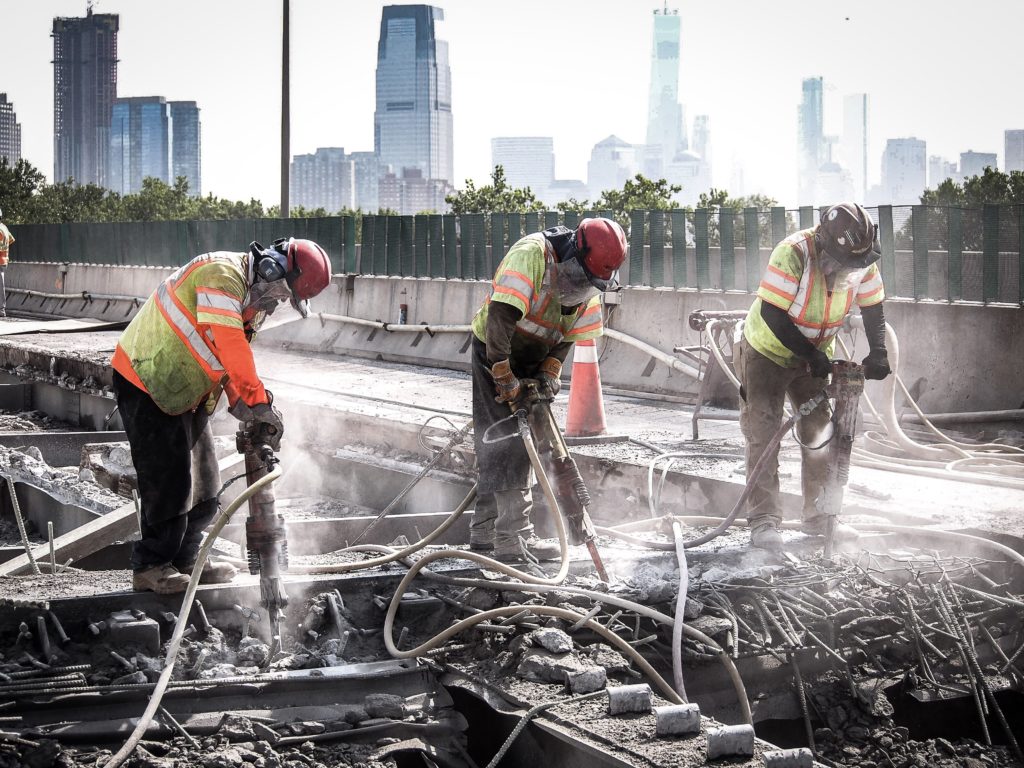
We can handle progress photos for public and private jobs as well as marketing tools for public information.
Our drones have cameras capable of 180° of vertical rotation, meaning we’re able to see 90° up from the drone’s position or 90° down to inspect hard to reach spots and get the best angle you need.